
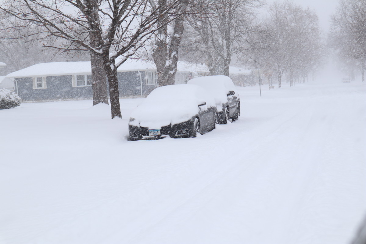
The National Weather Service has issued a winter storm watch ahead of a system expected to bring heavy snowfall to Minnesota early this week. The watch goes into effect at midnight Tuesday and continues through 6 a.m. Wednesday, covering areas from Minnesota’s northern border south to Fergus Falls and the Brainerd Lakes region.
Forecasters say that while predictions may shift before the system arrives, current models indicate snowfall totals of 3 to 7 inches across much of northern Minnesota. Some locations could see even higher amounts, especially after Sunday afternoon model updates shifted the storm track slightly farther south.
The revised forecast raises the possibility of significant accumulations along the I-94 corridor and even measurable snow in the Twin Cities metro area.
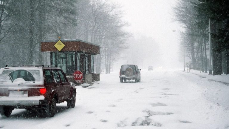
The timing of the storm may cause travel issues for Minnesotans hitting the road early for Thanksgiving. Although most of the snow is expected to end before the busiest travel window Wednesday afternoon, the National Weather Service warns that travel could still be difficult earlier in the day.
“Roads, and especially bridges and overpasses, will likely become slick and hazardous,” the NWS cautioned. “Plan on slippery road conditions. The hazardous conditions could impact the Tuesday morning and evening commutes.”
In addition to heavy snowfall, wind gusts of up to 30 mph could lead to blowing and drifting snow, creating pockets of reduced visibility in the watch area.
Travelers are encouraged to monitor forecasts and allow extra time on the roads as the holiday week begins.


Leave a Reply