
A shift toward colder and more unsettled weather later this month could set the stage for a potential winter storm affecting parts of Virginia and North Carolina, especially across central, western, and higher-elevation regions.
Outlooks from the National Weather Service Climate Prediction Center indicate that the period from January 17 through January 30 is likely to bring below-average temperatures to the Mid-Atlantic and portions of the Southeast. Forecast signals also suggest increased precipitation during this window, raising the possibility of a more organized storm system developing as cold air pushes south and interacts with moisture from the west or Gulf of Mexico.
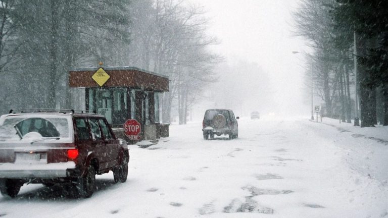
In Virginia, locations west of Interstate 95 — including the Shenandoah Valley, central Piedmont, and areas along the Blue Ridge — would be most vulnerable to snow or mixed winter precipitation if the timing aligns. Parts of central Virginia, including the Richmond metro area, could also sit near the rain-snow line, making nighttime or early-morning wintry conditions possible.
In North Carolina, the primary areas of concern include the western Piedmont and foothills, such as Winston-Salem, Hickory, and Boone, where colder air often lingers longer. Mountain regions could face slick roads and travel challenges, particularly along Interstate 40, U.S. 52, and nearby secondary routes.
While it is still too early to determine exact timing, snowfall amounts, or locations, forecasters say the broader weather pattern supports at least one winter weather setup before the end of January. Residents are advised to stay alert for forecast updates and be prepared for potential travel disruptions as confidence increases closer to the possible event.


Leave a Reply